I had seen that Castleford had an old derelict viaduct from this website, but hadn't (at the time) seen that anyone had done a Drone Adventure there.
Since I did my original drone Video of Castleford Viaduct (I have visited twice, both videos lower in the page), I have seen quite a few more, including one with someone on the bridge.
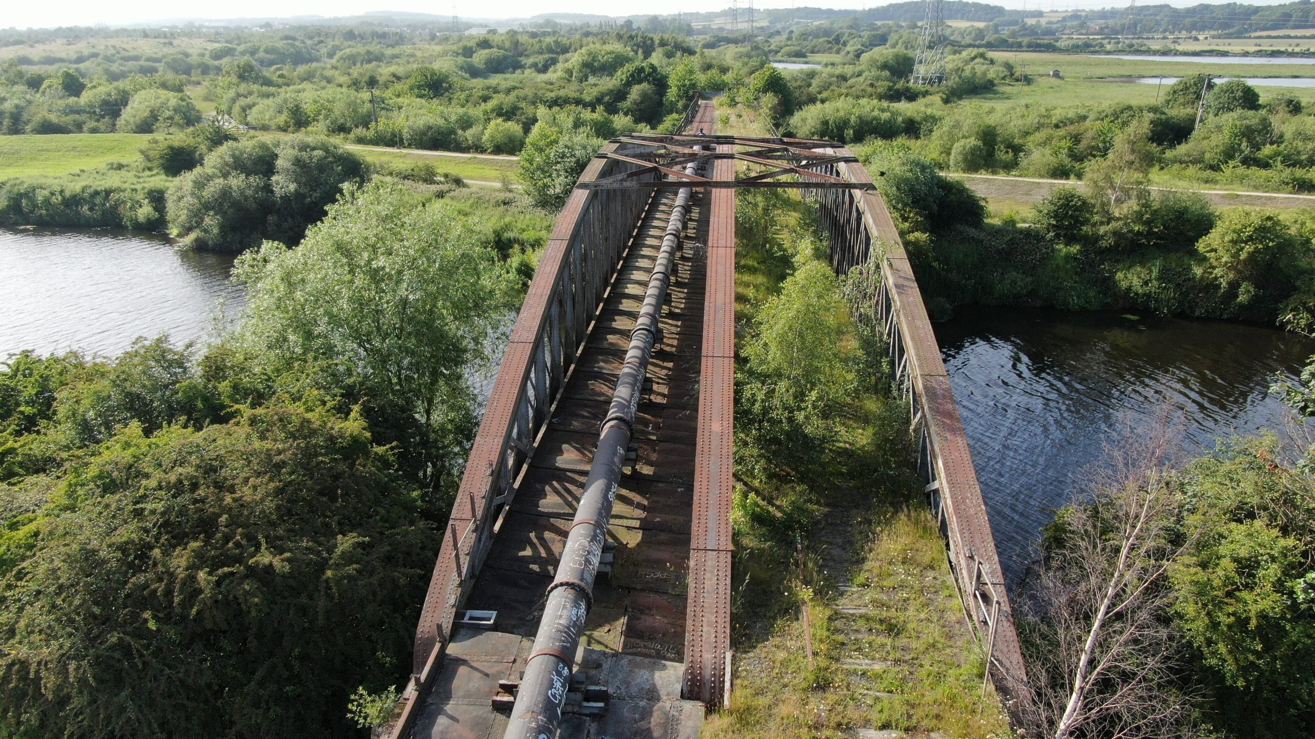
I wouldn't go on the bridge, it looks pretty dangerous but the drone got pretty close.
This is where Castleford Viaduct is on Google Maps now:
The Castleford-Garforth line was a single track railway line in West Yorkshire. This linked Castleford with Garforth. The route was created to allow coal to be transported to local power stations.
For a while, this was also a passenger route, with 5 stations along the route. The Castleford Viaduct was originally opened on 8th April 1878 and eventually closed in 1998 after the coal mines where closed down.
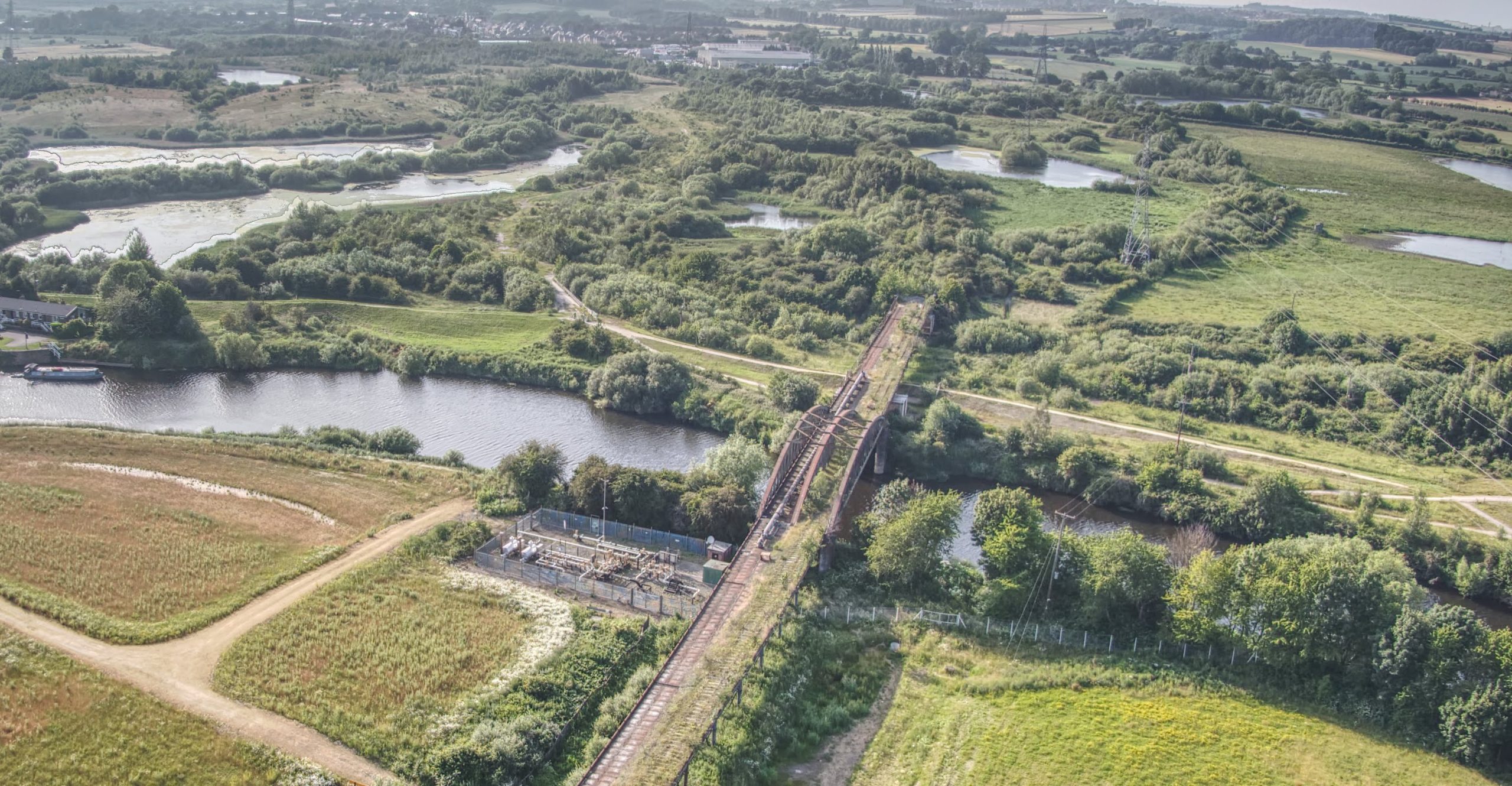
Castleford Viaduct is 260m long and spans over the River Aire in West Yorkshire.

Above, is a side by side map of the area, showing the bridge now and where the line did go. Look here to look around a bit more at this.
Below I have some photos that I took, I hope that you like them.